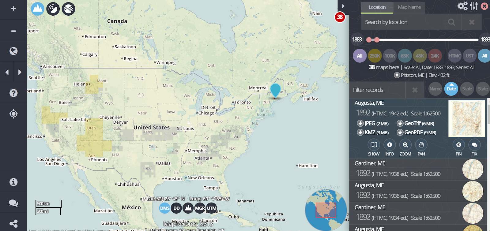
topoView is a free service that anyone can use to find and download historical topographic maps produced by the USGS since 1880. The process of finding maps through topoView is rather easy. Simply open the map viewer then click on a part of the United States. Once you’ve selected an area you can use the timeslider to find maps produced during a range of years. Maps that you find through topoView can be downloaded as JPG, KMZ, GeoPDF, and GeoTIFF files. Most students will utilize the JPG or KMZ formats. This video provides an overview of how to use topoView.
Applications for Education
The historical maps found through topoView could be useful in helping students see how the topography of an area has changed over the last 130 years. Students who use Google Earth Pro (the free desktop version of Google Earth) can layer the historical maps over the current view of an area.
topoView could also be useful to students who are writing historical fiction stories to get a better sense of the layout of a place that they might be writing about.
Learn more about Google Earth in my upcoming webinar, Google Earth & Maps – It’s More Than Social Studies.